Research at GGE
The GGE department has a strong history of excellence in research and education at the graduate level.The department consistently receives top ranking in research within the university, and it is well known internationally in the various fields of Geomatics.
We are ranked #1 in UNB research, receiving national and international research awards. We receive over $1 million research funding annually.Research areas
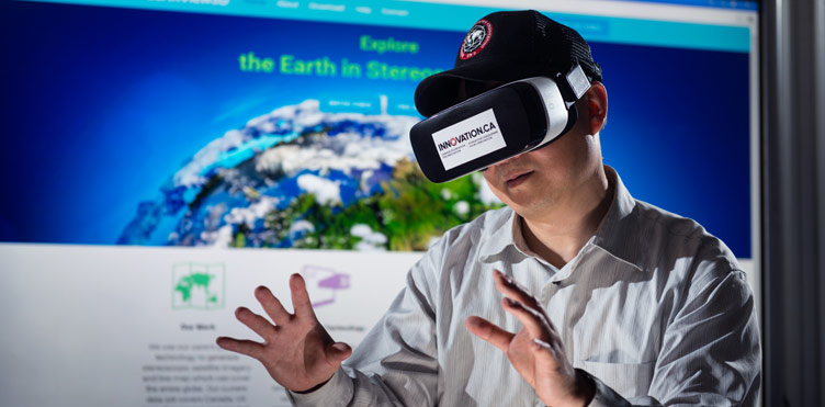
Remote sensing & photogrammetry
Remote sensing & photogrammetry
Our research in advanced remote sensing image processing and digital photogrammetry has resulted in breakthrough technologies that are used by:
- NASA
- US Geological Survey
- Natural Resources Canada
- and many others
Our research accomplishments have won international and national awards, such as one of 100 internationally outstanding university technologies (other winners include MIT, Stanford, and Yale); international award for significant enhancement of the applications of photogrammetry, remote sensing, or spatial information sciences (one recipient every four years); and NSERC Synergy Award for Innovation (awarded by the Governor General of Canada).
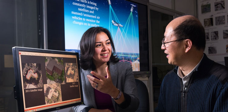
Geographic Information Systems
Our research in Geographic Information Systems (GIS) focuses on gathering, processing, and visualizing geospatial data focusing on disaster management, updating urban thematic maps and generating 3D city models. In disaster management, we focus on combining data from different sources such as satellite imagery, UAV images, LiDAR, existing thematic maps and social media to produce damage maps. We also focus on generating hydrological models to produce flood susceptibility maps.
3D city models help us to produce a digital tween of cities that play an essential role in the analysis and management of the challenges of modern cities. In our department, we focus on generating 3D city models in different levels of detail (LoD) using data sources such as LiDAR and UAV/Terrestrial imagery.
Geodetic research: Gravity
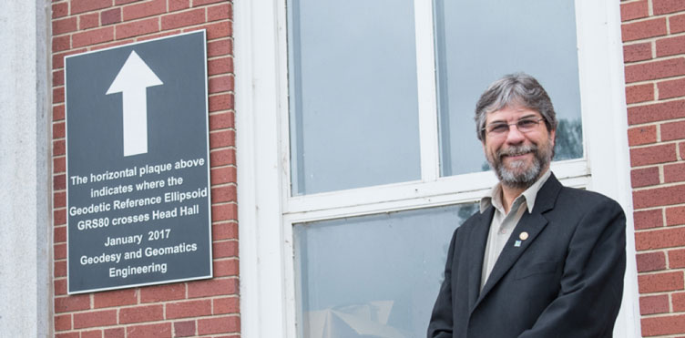
The main research topic of what is informally called the Geodesy Group is the geoid, the horizontal surface that best approximates the sea level, to and the reference surface for meaningful heights.
A horizontal surface is easy to visualize, particularly at the sea or a lake level, but it is considerably more difficult to determine it over land, where a heights reference are usually needed.
The first Canadian geoid of decent accuracy was produced by our group back in 1985 based on the Stokes-Helmert theory of geoid determination. Our implementation of this theory has been improved and developed into one of the most accurate approaches worldwide.
Hand in hand with the problem of a reference surface for heights comes the problem of the definition of heights to be used. These "practical heights above sea level," must be derived from observed heights or height differences at the Earth’s surface. In this area, we have formulated the rigorous orthometric heights.
The group has also carried out some research related to geodynamics.
Geodetic research: GNSS
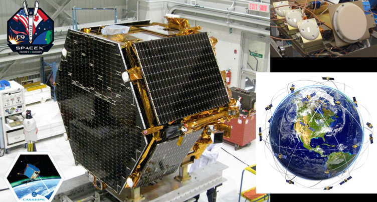
The research satellite CASSIOPE hosts the GPS Attitude, Positioning, and Profiling (GAP2) instrument designed by GGE researchers. It is one of eight instruments making up the Enhanced Polar Outflow Probe platform on the satellite.
CASSIOPE was launched in September 2013 into an elliptical, near-polar orbit and continues to provide a wealth of scientific data.
The four white antennas on the left-facing side of the spacecraft feed separate GPS receivers whose data is used to determine the position, velocity, and attitude of the spacecraft while the antenna on the upper side, feeding an additional receiver, is used to profile the ionosphere’s electron density.
Graduate students in the Geodetic Research Lab, as well as researchers elsewhere, are analyzing GAP2 data to better understanding the ionosphere and its interaction with solar activity and the Earth’s magnetic field.
Ocean Mapping Group
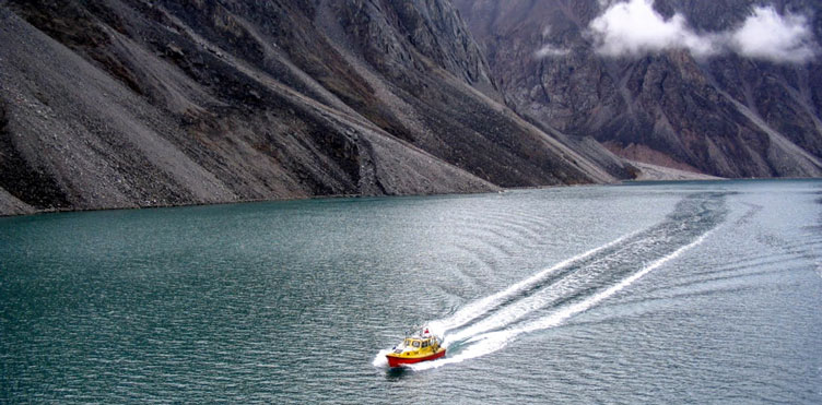
The Ocean Mapping Group is focused on developing new and innovative techniques and tools for the management, processing, visualization and interpretation of ocean mapping data.
The group specializes in the areas of:
- seafloor mapping
- hydrodynamic numerical ocean modelling
- marine habitat mapping
- acoustic water column interpretation
- evaluating autonomous mapping platforms.
The group works to gain a better understanding of the marine environment using acoustics and to minimize uncertainty in ocean mapping products.
Canadian Centre for Geodetic Engineering
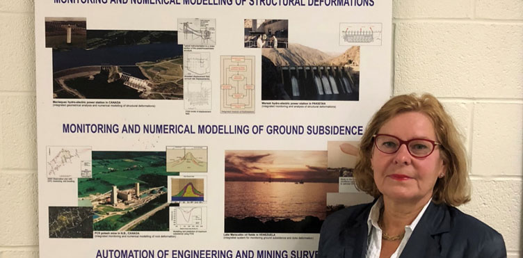
Canadian Centre for Geodetic Engineering
The research at CCGE concentrates on development of integrated analysis of structural and rock mass deformations arising during extraction and processing of raw materials. The growing global demand for raw materials and energy leads to mining under difficult geological condition with increased complexity of operations.
At the same time, there are growing demands for environmentally safe mineral extraction and energy production processes.
Integrated analysis involves multidisciplinary development of physical and mathematical models of complex deformation processes together with geodetic and geotechnical monitoring techniques.
The basic characteristic of the analysis is a fusion of the results of deformation monitoring surveys with results of deterministic modelling of physical phenomena occurring during the processes using finite element method.
Leadership
Fellows
David Coleman
- Fellow of Canadian Academy of Engineering
- Fellow of Royal Canadian Geographical Society
- Fellow of Engineers Canada
Richard Langley
- Fellow of the Institute of Navigation
- Fellow of the Royal Institute of Navigation
- Fellow of the International Association of Geodesy
John McLaughlin
- Fellow (and Past President) of the Canadian Academy of Engineering
Marcelo Santos
- Fellow of the International Association of Geodesy
Petr Vaníček
- Fellow of American Geophysical Union
- Fellow of International Association of Geodesy
- Fellow of Czechoslovak Society for Arts and Sciences
Yun Zhang
- Fellow of Canadian Academy of Engineering
Spin-off companies
We collaborate with these companies to grow and improve our research.
Obtaining publications
Select Lecture Notes or Technical Reports and download by title.