Forestry & Environmental Management
UNB Fredericton
Introduction to GIS in Forestry and Environmental Management ($395)
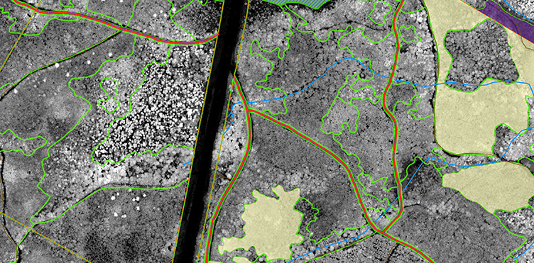
This two-day introductory workshop is intended for natural resource professionals seeking a basic working knowledge of the ArcGIS software suite. Participants will gain hands-on experience with ArcGIS (provided) in a computer lab setting. As a result of the workshop, participants will be able to acquire, manage and use spatial data to develop, symbolize and share informative maps, perform common editing and geoprocessing operations and interchange between GIS and GPS data formats.
Topics include:
- Common data types used in GIS
- Common data and map projections that might be encountered
- Building informative maps by:
- Creating an ArcMap project
- Adding and symbolizing GIS data
- Incorporating public base map data
- Using and modifying map templates
- Sharing GIS data and maps by:
- Exporting PDF maps
- Sharing Layer and Map Packages
- Work with common GPS data formats by:
- Importing GPX data in to ArcGIS
- Exporting GIS data to GPX format
- Build and modify GIS data by:
- Common geoprocessing tools
- Data selections and queries
- Basic spatial data editing
About the instructor
 Jae Ogilvie is Research Associate in the Faculty of Forestry and Environmental Management at the University of New Brunswick where he teaches undergraduate and graduate-level courses in introductory & advanced GIS and LiDAR. Jae is the primary developer in charge of the continued improvement of the wet areas mapping (WAM) model in the Forest Watershed Research Centre at the University of New Brunswick. Jae has a Masters of Science in Forestry (MScF) degree from the University of New Brunswick, is a Registered Professional Forester (RPF), a Certified Geographic Information Systems Professional (GISP) and is a fellow of the Canadian Rivers Institute (CRI).
- Dates: March 26 & 27, 2020
- Time: 8:30 a.m. – 4 p.m.
- Price: $395 plus tax, includes morning coffee break, lunch and a workbook of materials covered
- Location: IUC Forestry Building, 28 Dineen Drive