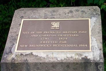
Point of Interest
Fort Presqu'Ile
Latitude: 46.400211
Longitude: -67.609653
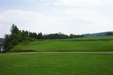
To secure the vital St John River from the growing threat and claims from the United States, the Lieutenant Governor of New Brunswick, Thomas Carleton, directed that two British military posts be established in the valley. The largest one was built at the mouth of Presqu' Ile River in 1790. It occupied five acres, with a blockhouse, barracks for 96 soldiers, officers quarters for 12, a guardhouse, stables and stores. Fort Presqu'Ile was abandoned in 1823. During the Maine/New Brunswick Border Dispute the post was repaired and used as an observation post, depot and rallying point for the local militia. The only evidence remaining is the cemetery. There is a provincial historic marker on the side of the road at the foot of the height of land upon which stood the military post.