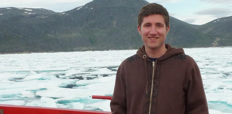
During his time as a student and research assistant at UNB, Ian Church (BScEng’06, MScEng’08, PhD’14) spent most of his summers travelling throughout the Canadian Arctic onboard the CCGS Amundsen, where he operated and managed the research ship’s multibeam sonar system using sound to navigate and detect objects on or under the surface of the water.
With a specialization in ocean mapping using acoustics, Church was part of UNB’s Ocean Mapping Group’s Arctic Mapping Program, which since 2003, has been testing the Amundsen’s acoustic equipment and collecting as much depth, backscatter and sub-bottom data as possible throughout the Canadian Arctic. The data collected from the Amundsen’s routes and planned surveys are giving scientists, hydrographers and industry stakeholders a better understanding of the Arctic seabed and improving navigational safety.
After graduating from UNB in 2014 with his PhD, Church took on a faculty position in the University of Southern Mississippi’s Hydrographic Science Research Center, but two and half years later, he moved back to New Brunswick, coming full circle to head up UNB’s Ocean Mapping Group.
"UNB's GGE program is unique in North America and is a world leader in many research areas," says Church. "One of those research areas is ocean mapping and as a student, the program provided me with an excellent balance between developing practical skills and theoretical research. As a faculty member, I feel incredibly lucky to be able to continue to build and evolve this program. When I was a student, I worked closely with John Hughes Clarke, David Wells and Katy Haralampides. I am lucky to once again work with all three of these individuals on research projects and developing teaching materials."
Church will work to expand the Ocean Mapping Group’s research capabilities in the development of innovative methods and tools to manage, process, visualize and interpret ocean mapping data. In addition to the Arctic Mapping Program, ocean mapping researchers are working with the Canadian Hydrographic Service and the Port of Saint John.
“Ocean mapping is essential to ensuring safe navigation of coastal areas and to better understand the ocean environment,” says Church. “We know more about the surface of Mars than the bottom of the ocean, with only a small percentage of the ocean being mapped to modern standards. The Canadian Arctic is a perfect example of an area that continues to see increases in commercial shipping traffic and the Ocean Mapping Group at UNB has collected more multi-beam sonar data within this area than anyone else.”
Research at the Ocean Mapping Group stretches across all four coasts of North America, with projects examining how oil was transported into the coastal northern Gulf of Mexico after the Deep Water Horizon oil spill and underwater landslides on the west coast of Canada, and studying seafloor change and oceanography within the Port of Saint John.
"There are many facets of my field that excite me, but the primary one is the exploration of the ocean environment," says Church. "The ocean is one of the last unexplored frontiers on earth and I’m lucky to be a part of that discovery process. Every time we go out to sea to collect data and develop maps of the seafloor, we are seeing features and details of the ocean floor that no one has ever seen."